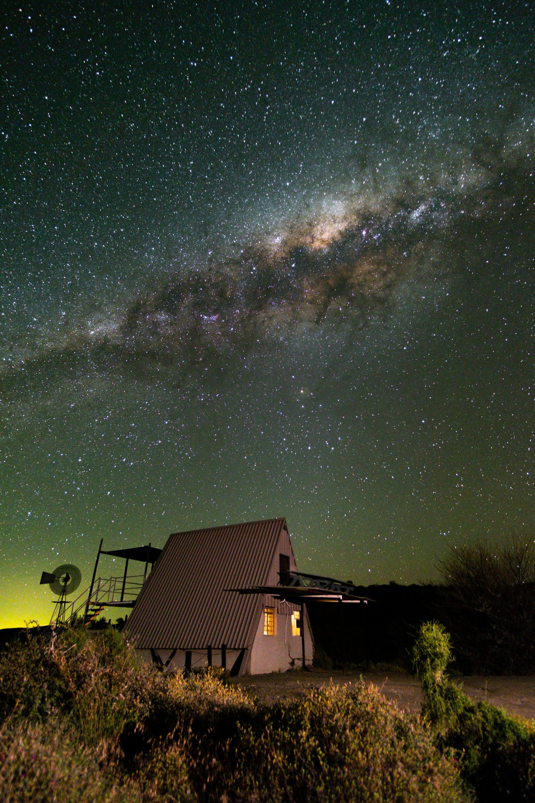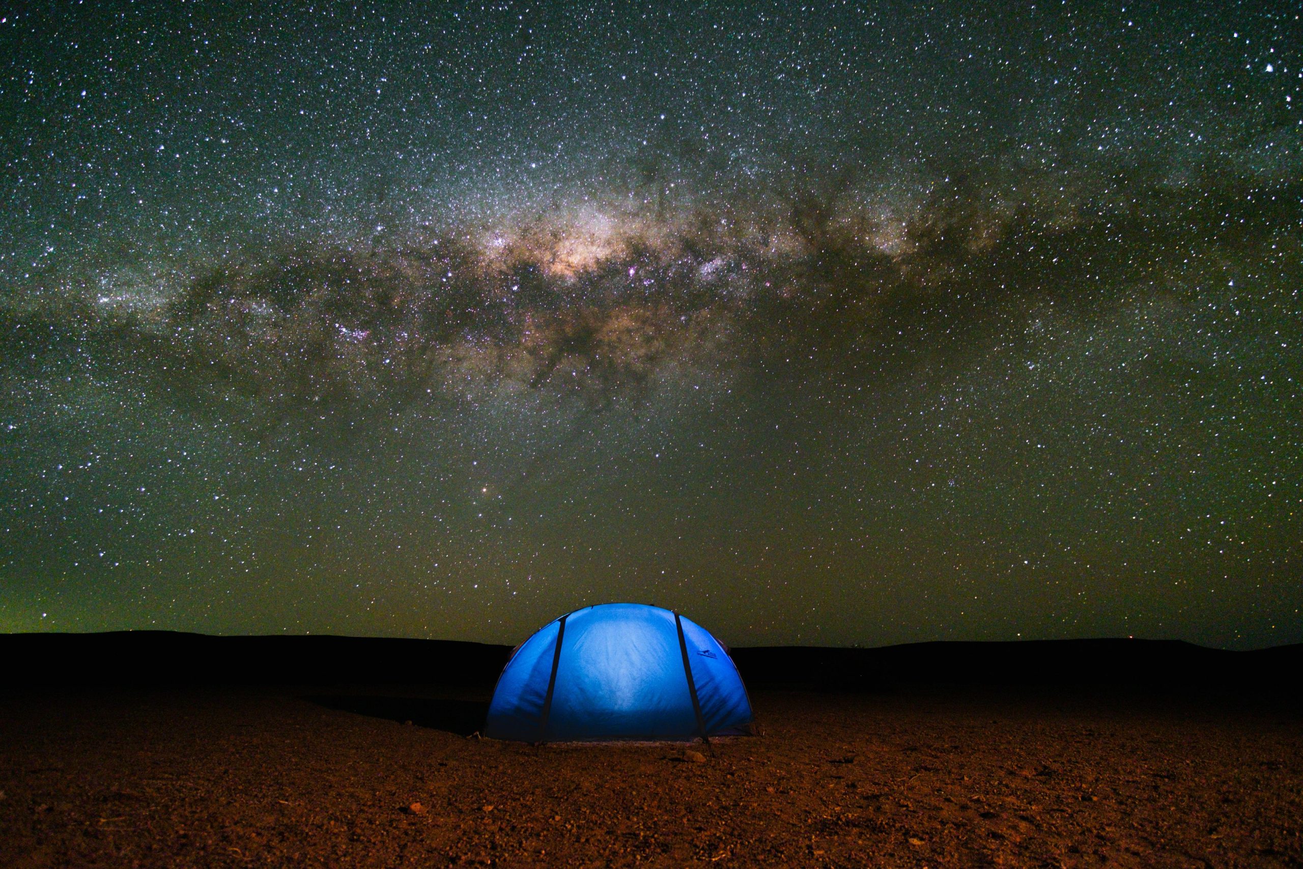
The Tankwa Karoo offers a diverse landscape consisting of plains, mountains, and desert-like areas. An arid, semi-desert lowland basin that is uniquely beautiful, yet harsh. It is very remote and the stillness it brings is mesmerising.
I’d been daydreaming about a multi-day cycle tour in the Tankwa for a while. It’s a landscape that is known well by the 4×4 and motorbike community. There’s even a trail run and bicycle race that explores the area. But strangely enough, I struggled to find information on a multi-day circular cycling route. Having never been there, I had very little to go by in terms of what a good route would look like. With the help of a newly made friend and legend cycle tourer, Johan Wahl, a route was plotted. A circular route, starting and ending in Sutherland, spanning 330km with 3100m elevation.
The nature of the route provided two main challenges: water and refuge. Unlike the Outeniqua Mountains, a flowing stream of fresh water was virtually off the cards, so we’d need to carry enough water to get us comfortably and safely through each day. We proceeded to kit each bike out to carry nearly 4l of water. First problem solved.
Next, a place to lay our heads. For these trips, we prefer to be self-sufficient, carrying our own food and tent. However, I understand that some would prefer a bit more luxury, so I set out to divide the route into achievable distances, ending each day at a place that could offer accommodation (camping or housing), water, and food. My only “rule” for our trip was: no support vehicles.
The route started off from Sutherland with a fairly flat stretch, met by a headwind to the top of Ouberg Pass. Here we were treated with the sights of the Cederberg mountains, Tafelberg and Sneeuberg, clearly visible in the distance. The descent was rapid and gnarly, claiming two spokes, but we fortunately managed to continue with some small adjustments and careful riding. At the foot of Ouberg, we found ourselves in a basin, where we would stay for the next 125km before climbing out via Gannaga Pass. We kept our eyes peeled for Gemsbok, Springbok, Eland and, if we were lucky, Cape Mountain Zebra and Red Hartebeest. On our way to and from Tankwa Tented Camp, we encountered stretches of soft sand – just enough to “build character”, but not so much that it ruined our day.
Gannaga Pass was a big boy, but the road was in a good condition (especially compared to Ouberg) and at the top, Gannaga Lodge sells their own branded beers. I can highly recommend their IPA. From here, we began our slow introduction back into civilisation. Gone were the days of seeing three or less cars. Middelpos was the first town we encountered since leaving Sutherland. Think one horse town. We hit the tar ±25km before reaching Sutherland, but the celebration was short-lived, as we had to conquer some punchy climbs before easing our way back into town.
Here are some need to knows:
- Water is scarce, so take more than what you think you’ll need.
- Parts of the route are exceptionally remote. Consider a satellite communicator and take the appropriate tools and spares.
- Take the appropriate bike/tyres. I did this trip on a gravel bike with 50c tyres. My total load, excluding bike, was 20kg+, so the wider tyres were a welcomed relief for the parts with soft sand.
- Consider the time of year. Temperatures can be extreme, so I’d recommend early Spring/Autumn. Flower season peaks in August/September.
- Middelpos is the only town where you can stock up. Supplies are very limited and opening hours are:
Mon-Sat: 10:00-13:00 & 16:00-17:00
Public Holidays: 16:00-17:00